top of page

Horizon SkyFrame

Drone Photography
Aerial Photography & Orthophotos That Reveal the Whole Story of Your Land
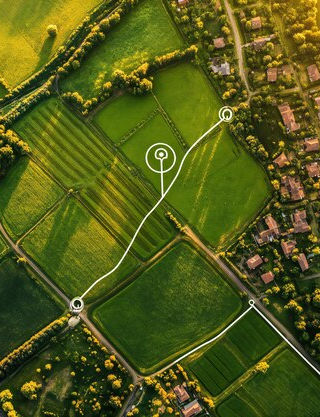
Crisp, cinematic photos and scale-accurate orthophotos—perfect for farms, acreage, estates, and rural properties in WV & VA.
RTK-Capable Platforms, WV & VA Coverage
Why Aerial Photography & Orthophotos? True Scale of Your Land Angles You Can’t Get on Foot Professional Editing Fast Turnaround Planning with Orthophotos
Homestead Showcase — $295 (Best for small homesteads up to ~5 acres):
-
10 edited aerial photos
-
One property entrance / location
-
Private download gallery

Drone Photography
Popular Add-Ons
Drone Photography
How It Works
Legal Disclaimer: Flight dates may shift due to weather or airspace restrictions.

Book Your Flight

Pre-Shoot Plan

On-Site Capture

Delivery
(photos in 48h, orthophotos as GeoTIFF/JPEG)
Drone Photography
FAQ's
Scale-accurate stitched aerial map for fencing, ponds, gardens, and planning.
Photography
Fill out the form to request a quote
Let’s Elevate Your Jobsite
No CAD needed for basic services
Explore Our Services
We Help You Design It Right From The Sky Down

bottom of page


